


Under a grant from the NASA Earth Science Technology Office, Raytheon Intelligence & Space, one of the four businesses that form Raytheon Technologies, is developing the Advanced Technology Land Imaging Spectroradiometer (ATLIS), the Waltham, MA-based company announced July 7. The ATLIS prototype will serve as a pathfinder for the future of one of NASA and the U.S. Geological Survey’s most enduring missions – land imaging.
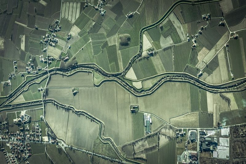
Since the 1970s, the Landsat program has cataloged the Earth’s ever-changing landscape from its morning orbit perch. But today, program managers are looking for ways to get more capability on orbit at a lower cost. Data from the Landsat satellites, first launched in 1972, help decision-makers around the world better understand environmental change. The data also supports managing agricultural practices and allocating scarce water resources.
“This new technology enables a smaller imager that can provide better data,” said Matt Magaña, Space Systems lead for RI&S. “It allows you to have your cake and eat it too, with better capability at a lower cost.”
Unlike the Greek titan Atlas, ATLIS gets its strength from being small – thanks to a revolutionary design.
“With standard optical technology, especially when we are going to a wide field of view, we have difficulty correcting distortions in the imagery,” explained Jeff Puschell, principal engineering fellow, Space & C2 Systems for RI&S. “We end up going to much larger telescopes that have less diffraction so we can accept the aberrations. But that’s not a good bargain for a next-generation system, where we’re trying to make them smaller. Smaller satellites use smaller launch vehicles, which save money.”
Traditional telescopes rely on large mirrors to mitigate distortions and aberrations, but what sets ATLIS apart is its use of a free-form telescope and new digital focal plane arrays. It also incorporates the work of the late Nobel Prize winning optical physicist Frits Zernike. He created a set of functions, or Zernike’s polynomials, that enabled the ATLIS team to define the surface shape of the mirror to correct for aberrations and distortions in the image quality more accurately across wider fields of view. The need for large mirrors is negated, ultimately yielding a significantly smaller, more precise instrument.
“What we’re doing with this space-based imager is incorporating techniques similar to those used in developing cell phone cameras like advanced optics and digital focal planes,” said Puschell. “We’re taking old camera technology and making it much smaller and better with new technology.”
But while cell phone cameras operate in three colors, ATLIS can provide 14. Puschell explained that operating in 14 colors gives researchers more insight into what they’re seeing. By looking in multiple parts of the spectrum, scientists can better understand water quality, the health of vegetation or even gain insight into what type of aerosols are present in the atmosphere, according to Puschell.
With Landsat 9 scheduled for launch in mid-2021, the soonest concepts from the ATLIS demonstrator could make their way on orbit would be with Landsat-10. NASA and USGS are formulating an architectural approach for Landsat 10, and the mission could be operational in the late 2020s.
“ATLIS is a big step forward, not only in terms of technology to make these imagers smaller and less expensive, but really what it’s going to do is enable better measurements,” said Magaña. “ATLIS could enable a more affordable option for the Landsat mission, continuing the program’s legacy of monitoring natural and economic sources from space.”
Source: Raytheon Technologies