The National Geospatial-Intelligence Agency, National Reconnaissance Office and National Science Foundation have finalized an agreement to provide continued public access to historical and new digital elevation models created using commercial imagery collected over the Arctic and Antarctic, NGA announced July 20.
Under this agreement, the NRO modified its existing Electro-Optical Commercial Layer contract with Maxar to allow the company to provide the U.S. Government with long-term access to this regional imagery with the express purpose to create DEMs, which are used to quantify characteristics of a land surface. The Arctic and Antarctic DEMs cover most everything from 60 degrees north and south latitude, except Alaska.
The agreement also allows NGA to share the imagery with NSF-funded university partners in order to update NSF’s ArcticDEM and Reference Elevation Model of Antarctica projects for the full 10-year duration of the contract, currently scheduled to end in 2032.
The DEMs will also be publicly available on NGA’s website through ESRI’s ArcGIS platform and via NSF’s Polar Geospatial Center at the University of Minnesota, enabling a wide variety of GIS, remote sensing, climate and mapping research use cases across the polar science community.
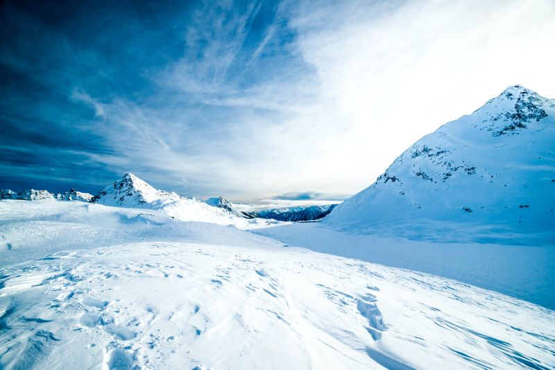
A digital elevation model is a 3-D representation of a terrain’s surface, created from terrain elevation data. Analysis can be done on DEMs to determine or detect changes in topography over time, including the effects of climate change, which are amplified at the poles.
DEMs are critical to informing not only scientific research on climate change, such as waterflow and land mass movement, but also helping the U.S. government understand the geopolitical dimensions of the region as five countries lay claim to overlapping areas.
Source: NGA
Stay in the know with breaking news from across the IC and IC contracting landscape by becoming a paid subscriber to IC News. Your support makes our work possible.