On February 7, the Intelligence Advanced Research Projects Activity (IARPA) released the Space-based Machine Automated Recognition Technique (SMART) broad agency announcement (BAA). The agency will accept questions until March 6, and proposals are due by April 7.
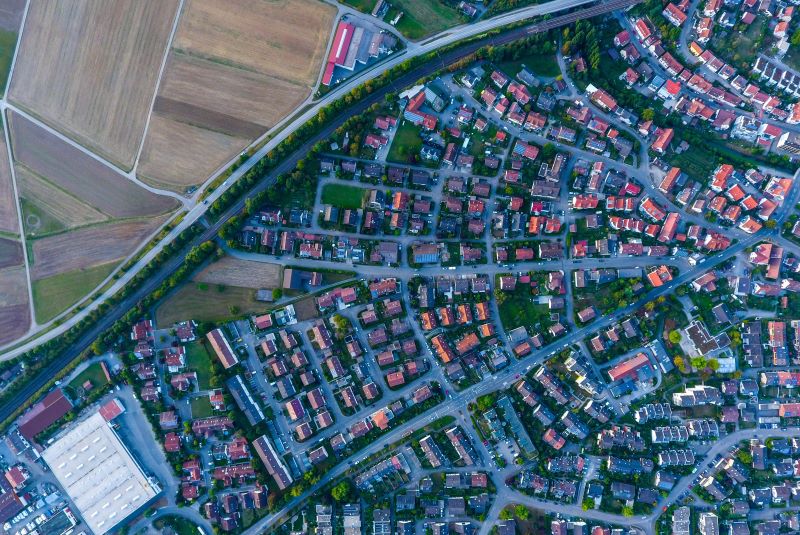
The SMART program’s primary objective is to develop tools and techniques to automatically and dynamically execute broad-area search (BAS) over diverse environments to detect construction and other anthropogenic activities (e.g., heavy building and highway construction) using time-series spectral imagery. The geospatial intelligence (GEOINT) community requires technologies that support end-to-end flow and provenance of the 5V Big data dimensions (i.e., volume, velocity, veracity, value, and variety) enabling decision-makers to understand the context and evaluate courses of action based on the veracity and value of data. Over the coming decades, U.S. and foreign governments and the commercial sector will continue to pioneer the use of space-based remote sensing to characterize, understand, and predict variability and trends on Earth’s surface for both research and applications. To date, the volume of GEOINT continues to grow, while analysts struggle with the volume, variety, and velocity of space-based data to support local, regional, and national decision-making.
Analysts seek to properly identify, categorize, and monitor building structures for GEOINT, but manual and spatial exploitation methods do not scale with the wave of data (e.g., Big Data) available from past, nor with expected Big Data from current and future, space-based systems. However, SMART’s purpose is not to rely only on spatial information, but develop capabilities in the multi–spectral and multi–temporal domains for analysts.
SMART seeks Offeror Teams to develop and deliver automated technology to enable a coordinated series of space-based observations for long-term BAS and dynamic monitoring (i.e., change detection) at global, regional, and local scales. This coordinated approach shall enable an improved understanding of anthropogenic activity across diverse geographical regions and environmental conditions as an integrated system within a framework based on spectral, temporal, and spatial fusion. SMART will quantify key technical data fusion issues relating to physics-based processing—dynamic aerosol modeling and correction, calibration, spectral characterization, and geo-registration for achieving harmonization and interoperability of space-based data.
SMART will specifically address the following overarching research questions:
- What accuracy can be achieved for detection and monitoring of anthropogenic processes, i.e., heavy construction activities, by fusing multi-sensor data and machine learning techniques?
- How efficient and effective in the construction life-cycle delineation are SMART innovations achieving optimal accuracy to independently classify construction sequences using time-series data?
Full information is available here.
Source: IARPA


